Quick answer: A 2026 buyer guide to flood risk for Vancouver homes, covering which areas are exposed, how to read the City's flood plain and the 4.6 metre flood construction level, how flooding affects insurance and financing, and the due diligence steps a buyer should take before an offer.
A working realtor's guide to flood risk for Vancouver homes. Which low-lying areas near creeks and the shoreline carry risk, how to check the City's flood plain, what the flood construction level means, and how flooding affects insurance, financing, and your offer.
Want a free assessment for your property?
Leave your name and phone — Greyden will call you back with a personalized market snapshot. No spam, no drip campaigns.
Join 1,000+ Vancouver homeowners. No spam, unsubscribe anytime.
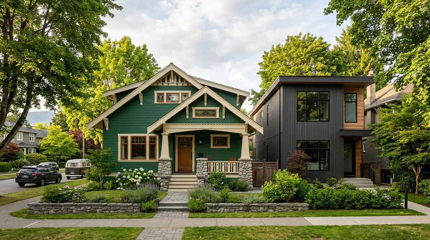
A client last spring found a character home near the water that ticked every box she wanted. Old wood floors, big windows, a price that looked like a deal for the block. That last part was the tell. When we pulled the flood plain information and called an insurer, the picture filled in. The home sat low, close to the shoreline, and the insurance quote for flood coverage was higher than she expected. We did not walk away, but we went in with our eyes open and negotiated with the full picture.
Flood risk is one of those topics most Vancouver buyers never think about until it is too late. So let me give you the honest version: which parts of the city carry risk, how to check the flood plain, what the flood construction level means, and how flooding affects your insurance, your financing, and your offer.
Why Vancouver has flood risk at all
Vancouver sits between the ocean and the Fraser River, and parts of the city are low and flat. That geography is the source of the risk.
The concern is mostly coastal flooding: a storm that arrives at high tide, pushing water over low shoreline land, made worse over time by rising sea levels. The City plans for sea level rise of about 50 centimetres by 2050 and about one metre by 2100. Add a strong storm and a high tide on top of that, and low land near the water can take on water.
This is not a reason to panic about the whole city. Most of Vancouver sits well above the risk line on higher ground. But the low areas near the water are real, and they are exactly where some of the prettiest older homes sit.
Which areas carry the most risk
Flood risk in Vancouver is about elevation and closeness to water, not about which side of town you are on.
The higher-risk areas tend to be:
- Low-lying land around False Creek and the flats near the water.
- Shoreline areas where the land sits close to sea level.
- Land near the Fraser River in the south of the city.
There is also a quieter risk to know about. Some Vancouver streets sit on top of old creek beds that were filled in a century ago. Water still remembers those paths, and low points can collect rain and groundwater even away from the ocean.
Higher-elevation neighbourhoods on the west and east slopes carry far less coastal flood risk. The important habit is to check the specific address, not just the general neighbourhood. Two homes a block apart can sit at very different elevations.
How to check the flood plain
Do not guess. Check. Here is the order I use with clients.
- Start with the City and Province maps. The City of Vancouver publishes flood plain information, and the Province of BC has floodplain mapping. These show you whether a property sits in a designated flood plain area.
- Ask the seller and read the disclosure. A property disclosure statement should flag known water problems. Silence is not proof of safety, but a disclosed history of water in the basement is a clear signal.
- Order a title search. Some flood-prone properties carry a covenant or note on title related to flood construction. Your realtor and lawyer can spot this.
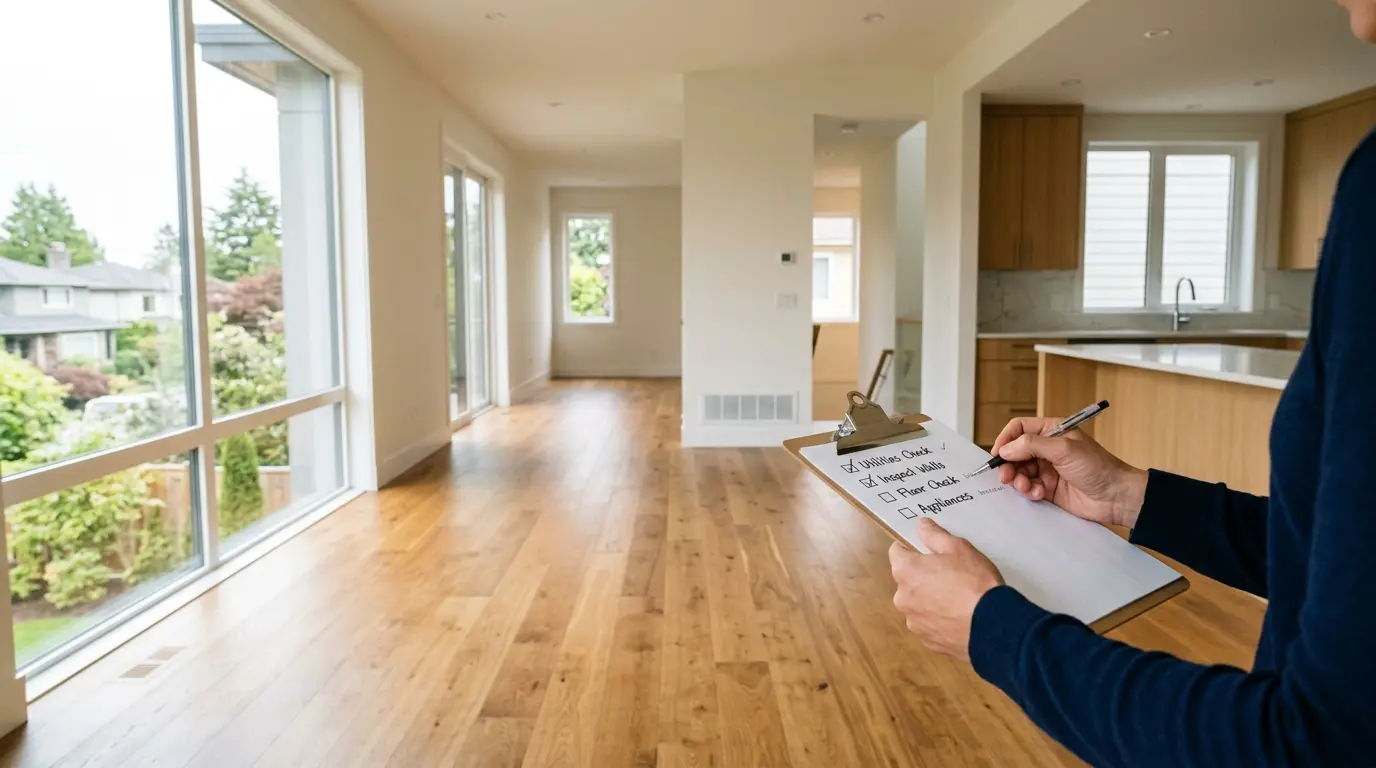
- Get a proper inspection. For any low-lying home, pay for an inspection that looks closely at drainage, the foundation, grading around the house, and any past water staining.
If a listing looks like a deal and the home sits low near the water, treat that as a prompt to do all four steps, not to move faster.
The flood construction level, in plain words
Here is the single most useful piece of jargon to understand: the flood construction level, or FCL.
The FCL is the height above which living space must be built in a designated flood plain. In Vancouver the FCL is 4.6 metres. The City set that number to protect homes from expected flood risk out to the year 2100. It bundles together storm surge, high tide, wave effect, about one metre of sea level rise, and a safety buffer on top.
What does that mean for a real house? In flood areas, newer homes are often built on raised foundations so the living space sits at or above 4.6 metres. You will see this as a higher main floor, a crawl space, or parking and storage on the lowest level with the living space lifted above.
For a buyer, the FCL is a checklist item. If you are looking at a low home built years ago, its main floor may sit below the current FCL. That does not make it unsellable, but it affects insurance, future renovation rules, and how you price the risk.
How flooding affects insurance and financing
This is the part that hits your budget, so I will be specific.
Insurance. Standard home insurance in Canada often does not include overland flood coverage by default. Overland flooding means water flowing across the land into your home, which is exactly the coastal risk we are talking about. You may need to add this coverage, and for a high-risk location it can cost more or come with limits. Call an insurer and get a real quote before you remove your conditions. Do not assume the coverage is included.
Financing. A lender may ask more questions about a home in a known flood plain. This does not usually stop a purchase, but it can add steps, so give yourself time.
Resale. Remember that the next buyer will run the same checks. A home with a known flood history and no flood coverage available is harder to sell. Buying with clear eyes protects your future resale too.
Because these costs stack up, run your full cash-to-close number early. Our closing costs calculator helps you see the real figure once you add insurance, legal fees, and land transfer tax.
Buying smart in a flood area
I want to be balanced here. Plenty of people own lovely homes in Vancouver’s low areas and are perfectly happy. Flood risk is a factor to manage, not an automatic no.
If you want a home in one of these areas, go in prepared:
- Confirm the flood plain status and the FCL for the exact address.
- Get a real insurance quote for overland flood coverage in writing.
- Pay for an inspection that focuses on drainage, grading, and any past water damage.
- Prefer homes that already sit on a raised foundation at or above the FCL.
- Price the risk into your offer. A well-informed buyer can negotiate.
The climate outlook points to more rain and higher seas over the coming decades, so this topic will only grow in importance. A home that is built correctly for its location today is a safer bet than one that ignores the risk. Our buyers guide covers the wider due diligence steps for any Vancouver purchase, flood area or not.
Key Takeaways
- Vancouver’s flood risk is mostly coastal, driven by storms at high tide plus rising seas, and it centres on low-lying land near False Creek, the shoreline, and the Fraser River.
- Elevation matters more than neighbourhood; always check the exact address, since homes a block apart can sit at very different heights.
- The flood construction level in Vancouver is 4.6 metres, set to protect homes to 2100 and accounting for about one metre of sea level rise plus a safety buffer.
- Standard home insurance often excludes overland flood coverage, so get a written quote before removing conditions.
- Financing and resale can both be affected by a known flood plain, so plan for extra questions and steps.
- You can still buy well in a flood area if you confirm the flood status, price the insurance, inspect drainage and foundation, and prefer homes raised to the FCL.
Frequently Asked Questions
How do I check if a Vancouver home is in a flood plain?
Start with the City of Vancouver’s flood plain information and the Province of BC floodplain mapping. You can also ask the seller and your realtor whether the property sits in a designated flood plain area, and order a property disclosure and title search. For low-lying or shoreline lots, a professional inspection and a check with your insurer are worth the cost before you commit.
What is the flood construction level in Vancouver?
The flood construction level, or FCL, is the height above which living space must be built in a designated flood plain. In Vancouver the FCL is 4.6 metres, set to protect homes from anticipated flood risk to the year 2100. It accounts for storm surge, high tide, waves, sea level rise of about one metre, and a safety buffer. New homes in flood areas often sit on raised foundations to meet it.
Does flood risk affect my mortgage or insurance?
It can. Lenders may ask more questions about a home in a known flood plain, and some insurers charge more or limit overland flood coverage for high-risk locations. Standard home insurance often does not cover overland flooding by default, so you may need to add it. Always confirm coverage and cost with an insurer before you remove conditions.
Which parts of Vancouver have the highest flood risk?
The higher-risk areas are low-lying and close to water: parts of False Creek, the shoreline flats, and land near the Fraser River in the city’s south. Older creek beds that were filled in long ago can also collect water. Higher-elevation neighbourhoods on the west and east slopes carry far less coastal flood risk. Always check the specific address, not just the general area.
Can you still buy a home in a Vancouver flood area?
Yes, many people do. The key is going in with clear information: confirm the flood plain status, understand the flood construction level, price the insurance, and have the home inspected for past water damage and drainage. A raised, well-built home in a flood area can be a fine purchase. The risk is buying blind and finding out about water later.
Sources
- City of Vancouver: flood plain standards and requirements
- City of Vancouver: adapting to sea level rise
- City of Vancouver: coastal flood risk assessment
- Province of BC: floodplain mapping
- Insurance Bureau of Canada: overland flood insurance
Work with Rain City Properties
Flood risk is manageable when you check it early and price it honestly. If you are looking at a low-lying or shoreline home this year, I can help you confirm the flood plain status for the exact address, point you to the right inspections and insurance quotes, and make sure your offer reflects the real risk instead of ignoring it.
Contact Greyden Douglas directly at (604) 218-2289 or book a call to discuss your Vancouver real estate goals.
Frequently asked questions
How do I check if a Vancouver home is in a flood plain?
Start with the City of Vancouver's flood plain information and the Province of BC floodplain mapping. You can also ask the seller and your realtor whether the property sits in a designated flood plain area, and order a property disclosure and title search. For low-lying or shoreline lots, a professional inspection and a check with your insurer are worth the cost before you commit.
What is the flood construction level in Vancouver?
The flood construction level, or FCL, is the height above which living space must be built in a designated flood plain. In Vancouver the FCL is 4.6 metres, set to protect homes from anticipated flood risk to the year 2100. It accounts for storm surge, high tide, waves, sea level rise of about one metre, and a safety buffer. New homes in flood areas often sit on raised foundations to meet it.
Does flood risk affect my mortgage or insurance?
It can. Lenders may ask more questions about a home in a known flood plain, and some insurers charge more or limit overland flood coverage for high-risk locations. Standard home insurance often does not cover overland flooding by default, so you may need to add it. Always confirm coverage and cost with an insurer before you remove conditions.
Which parts of Vancouver have the highest flood risk?
The higher-risk areas are low-lying and close to water: parts of False Creek, the shoreline flats, and land near the Fraser River in the city's south. Older creek beds that were filled in long ago can also collect water. Higher-elevation neighbourhoods on the west and east slopes carry far less coastal flood risk. Always check the specific address, not just the general area.
Can you still buy a home in a Vancouver flood area?
Yes, many people do. The key is going in with clear information: confirm the flood plain status, understand the flood construction level, price the insurance, and have the home inspected for past water damage and drainage. A raised, well-built home in a flood area can be a fine purchase. The risk is buying blind and finding out about water later.
Related Vancouver real estate pages
Continue with local service pages, neighbourhood guides, and actionable resources related to this topic.