Quick answer: A 2026 buyer's guide to property line surveys in Vancouver, explaining what a Real Property Report and survey certificate show, how to catch encroachments and easements before closing, cost and timing, and why a survey is critical for multiplex and development lots.
A working realtor's guide to property line surveys in Vancouver: what a survey certificate and Real Property Report actually show, how to catch encroachments and easements before closing, and why this step is critical when you buy a multiplex or development lot.
Want a free assessment for your property?
Leave your name and phone — Greyden will call you back with a personalized market snapshot. No spam, no drip campaigns.
Join 1,000+ Vancouver homeowners. No spam, unsubscribe anytime.
Early in my career I watched a clean, simple purchase almost fall apart in the final week. My client was days from completing on an older house in East Vancouver. On a hunch, we ordered a survey. It came back showing that the neighbour’s detached garage sat about two feet onto the lot my client was buying. Nobody had noticed, because the fence line looked normal and the garage had been there for decades.
That one document changed the whole deal. It meant a possible boundary dispute, a cloud on the title, and a serious problem if my client ever wanted to redevelop the lot. Because we caught it before closing, we had room to negotiate a fix. Had we found it after completion, it would have been my client’s problem to sort out alone.
I want to walk you through what a property line survey actually is, what it catches, when to order one, what it costs, and why it becomes non-negotiable the moment you plan to build.
What a property line survey actually is
A property line survey is a precise measurement of a property’s legal boundaries, carried out by a British Columbia land surveyor. The most common document for a single home is a Real Property Report, sometimes shortened to RPR. It is a legal drawing that shows the exact lot lines, where the buildings sit relative to those lines, the position of fences, decks, garages, and other structures, and any visible encroachments. It also references easements, rights of way, and setback requirements.
There is a simple idea behind all of it. The survey tells you where your land legally starts and stops, which is often not the same as where the fence, hedge, or old garage happens to sit.
RPR versus a full development survey
For a straightforward home purchase, a Real Property Report is usually enough. If you plan to build, you will likely need a more detailed survey. A topographic survey captures ground levels, trees, utilities, and precise dimensions that your architect and the City of Vancouver need to design and approve a project. Your surveyor will tell you which document fits your situation.
What a survey catches that a walkthrough never will
You can walk a property ten times and still miss the things a survey reveals. Here are the ones I see most often.
Fences and hedges that are not on the line
It is extremely common for a fence to sit a foot or more off the legal boundary, in either direction. Sometimes you own strip of land you did not know about. Sometimes your neighbour has been using a piece of yours for years. Either way, you want to know before you own it.
Encroachments
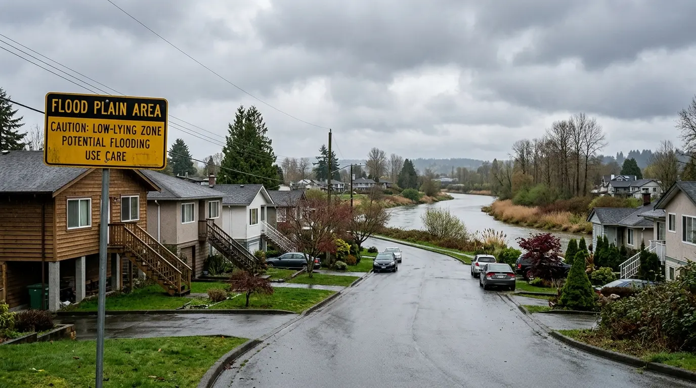
An encroachment is when a structure crosses a property line. A neighbour’s garage, eave, or retaining wall might sit partly on your lot, or your own deck or shed might extend onto the neighbour’s land or onto a city easement. Encroachments can create legal disputes, hold up a future sale, or force someone to move or rebuild a structure. Catching them before you buy is far better than discovering them years later.
Easements and rights of way
An easement is a legal right for someone else to use part of your land, often a utility company or the City, for things like sewer lines, drainage, or access. An easement can limit where you are allowed to build. A survey, read together with a title search, shows you what is registered against the property.
When to order a survey
You are not always legally required to get a survey to buy a home in Vancouver, but there are situations where I strongly recommend one.
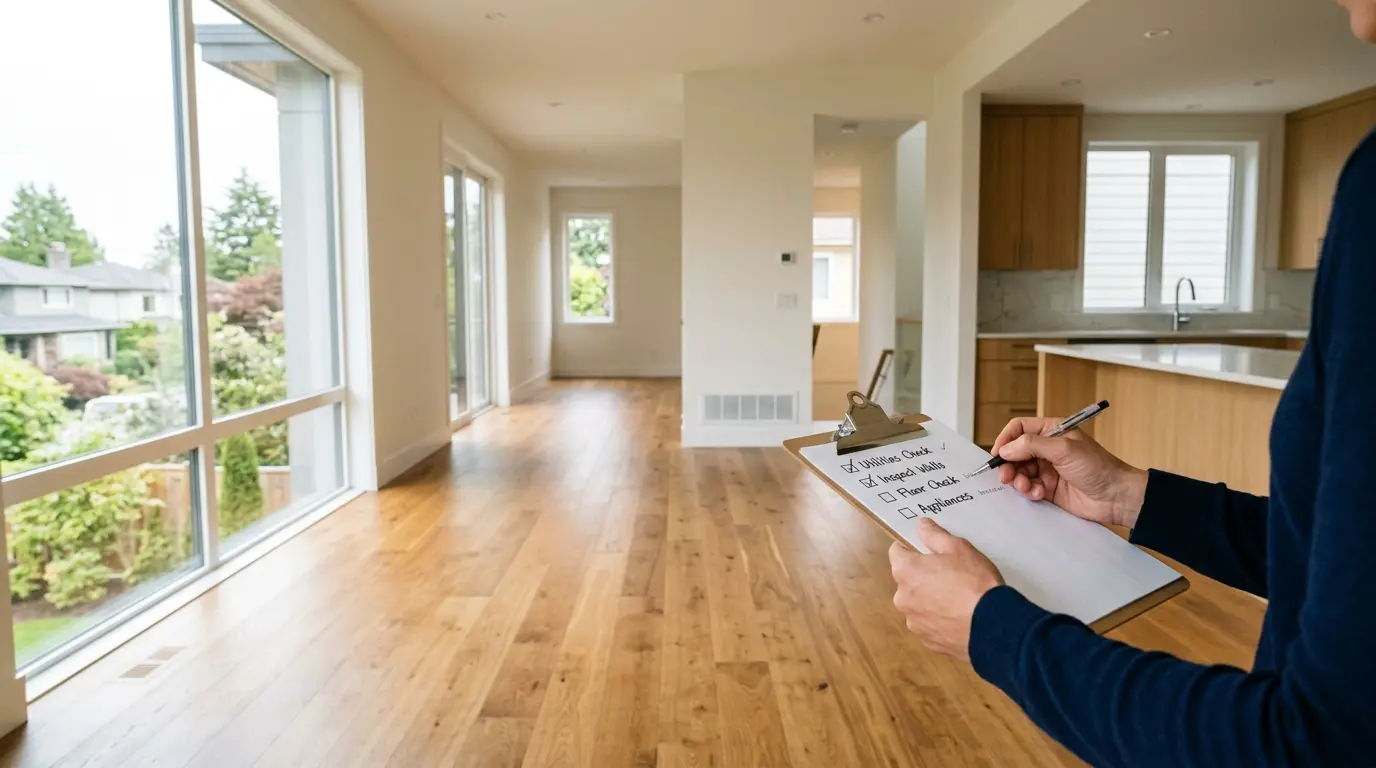
Order a survey when you are buying an older home, a corner lot, or any property with structures close to the boundary, such as a garage, deck, or addition near a fence. Order one if the lot shape is irregular, if there is a lane, or if you have any reason to think the fences might not match the lines. And order one, without exception, if you plan to redevelop.
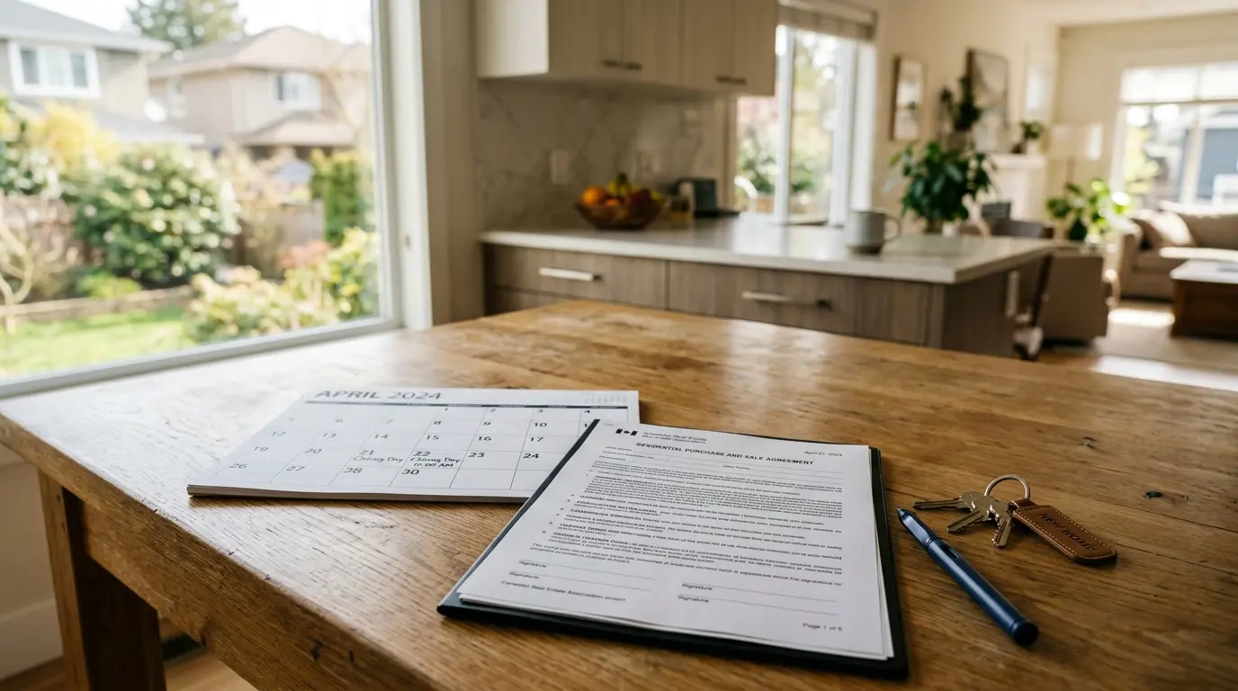
The timing matters. The right moment is during your due diligence period, before your conditions are removed and before you are fully committed. That is when a surprise still gives you options: renegotiate the price, ask the seller to resolve an encroachment, or walk away. After completion, the problem is simply yours. If you are new to structuring an offer with proper conditions, our buyers guide covers how the due diligence window works.
What a survey costs
Costs vary by lot size, complexity, and the surveyor, so always get a direct quote from a BC land surveyor rather than relying on a general figure. A standard Real Property Report for a typical residential lot is usually a modest cost relative to the purchase price. A full topographic survey for a development project costs more because it captures far more detail.
I think of it as cheap insurance. Set against the price of a Vancouver home, and against the potential cost of a boundary dispute or a redesign, the survey fee is small. When you budget your purchase, fold it in alongside your other closing costs. Our closing costs calculator helps you build a realistic cash-to-close figure that leaves room for due diligence expenses like this.
Why a survey is critical for a multiplex or development lot
This is where a survey stops being optional in my view.
When you build a multiplex under Bill 44, the entire design depends on exact lot dimensions, setbacks, and easements. A small error at the property line can change how many units fit on the lot, whether the building meets the City’s setback rules, and where you can legally place parking, utilities, and open space. A current, accurate survey is the foundation your architect and the City of Vancouver work from.
I have seen buyers assume a lot was a standard size based on the listing, only for a survey to show it was slightly narrower or shorter, which reduced what they could build. On a project where unit count drives the return, that difference is the difference between a deal that works and one that does not. If you are evaluating a lot for its density potential, read our explainer on R1-1 zoning in Vancouver alongside a proper survey, and see our multiplex page for how these projects come together.
Never design a development off an old or assumed boundary. Get a current survey from a BC land surveyor before you commit capital to a project.
Key Takeaways
- A property line survey, most often a Real Property Report, shows the exact legal boundaries of a lot and where buildings, fences, and structures sit relative to those lines.
- Fences, hedges, and old garages are frequently not on the legal line; a survey reveals encroachments and easements that a walkthrough never will.
- Order a survey during your due diligence period, before conditions are removed, so a surprise still leaves you room to renegotiate or walk away.
- Survey costs vary, so get a direct quote from a BC land surveyor; the fee is small relative to the purchase price and the cost of a boundary problem.
- For a multiplex or development lot, an accurate survey is essential because unit count, setbacks, and parking all depend on exact dimensions.
- Never design a redevelopment off an old or assumed boundary; a small error at the line can change what you are allowed to build.
Frequently Asked Questions
What is a property line survey in Vancouver?
A property line survey is a measurement of a property’s exact boundaries by a BC land surveyor. The most common document for a house is a Real Property Report, which is a legal survey showing the lot lines, the position of buildings, fences, decks, and any visible encroachments, along with easements and setbacks. It tells you where your land actually starts and stops, rather than where a fence appears to be.
Do I need a survey when buying a house in Vancouver?
You are not always legally required to get one, but it is strongly recommended, especially for older homes, corner lots, homes with structures near the boundary, and any lot you plan to redevelop. A survey catches encroachments, fences built over the line, and easements before you close, when there is still time to negotiate. Without one you are trusting that the fences and structures match the legal lines, which is often not the case.
How much does a property survey cost in Vancouver?
Costs vary by lot size, complexity, and the surveyor, so always get a direct quote from a BC land surveyor rather than relying on a general figure. A standard Real Property Report for a typical residential lot is usually a modest cost relative to the purchase price. A full topographic survey for a development project costs more because it captures more detail. Treat it as cheap insurance against a boundary problem that could cost far more later.
What is an encroachment and why does it matter?
An encroachment is when a structure crosses a property line, for example a neighbour’s fence, garage, or eave sitting partly on your land, or your own deck extending onto the neighbour’s lot or a city easement. Encroachments matter because they can create legal disputes, block a sale, or force you to move or rebuild a structure. A survey reveals them before you buy so you can address them while you still have negotiating power.
Why is a survey critical for a multiplex or development lot?
When you build a multiplex under Bill 44, the design depends on exact lot dimensions, setbacks, and easements. A few centimetres of error at the property line can change how many units fit, whether a building meets setback rules, or where you can place parking and utilities. A current, accurate survey is the foundation your architect and the City of Vancouver rely on, so a development lot should never be designed off an old or assumed boundary.
Sources
- Land Title and Survey Authority of British Columbia
- Association of BC Land Surveyors
- City of Vancouver: zoning and development
- Province of BC: small-scale multi-unit housing (Bill 44)
- BC Assessment: property information
Work with Rain City Properties
A survey is one of the smallest line items in a purchase and one of the most protective, especially when you are buying an older home or a lot you plan to build on. If you are buying in Vancouver this year, I can tell you when a survey makes sense, connect you with a reputable BC land surveyor, and make sure the boundary is right before you commit.
Contact Greyden Douglas directly at (604) 218-2289 or book a call to discuss your Vancouver real estate goals.
Frequently asked questions
What is a property line survey in Vancouver?
A property line survey is a measurement of a property's exact boundaries by a BC land surveyor. The most common document for a house is a Real Property Report, which is a legal survey showing the lot lines, the position of buildings, fences, decks, and any visible encroachments, along with easements and setbacks. It tells you where your land actually starts and stops, rather than where a fence appears to be.
Do I need a survey when buying a house in Vancouver?
You are not always legally required to get one, but it is strongly recommended, especially for older homes, corner lots, homes with structures near the boundary, and any lot you plan to redevelop. A survey catches encroachments, fences built over the line, and easements before you close, when there is still time to negotiate. Without one you are trusting that the fences and structures match the legal lines, which is often not the case.
How much does a property survey cost in Vancouver?
Costs vary by lot size, complexity, and the surveyor, so always get a direct quote from a BC land surveyor rather than relying on a general figure. A standard Real Property Report for a typical residential lot is usually a modest cost relative to the purchase price. A full topographic survey for a development project costs more because it captures more detail. Treat it as cheap insurance against a boundary problem that could cost far more later.
What is an encroachment and why does it matter?
An encroachment is when a structure crosses a property line, for example a neighbour's fence, garage, or eave sitting partly on your land, or your own deck extending onto the neighbour's lot or a city easement. Encroachments matter because they can create legal disputes, block a sale, or force you to move or rebuild a structure. A survey reveals them before you buy so you can address them while you still have negotiating power.
Why is a survey critical for a multiplex or development lot?
When you build a multiplex under Bill 44, the design depends on exact lot dimensions, setbacks, and easements. A few centimetres of error at the property line can change how many units fit, whether a building meets setback rules, or where you can place parking and utilities. A current, accurate survey is the foundation your architect and the City of Vancouver rely on, so a development lot should never be designed off an old or assumed boundary.
Related Vancouver real estate pages
Continue with local service pages, neighbourhood guides, and actionable resources related to this topic.